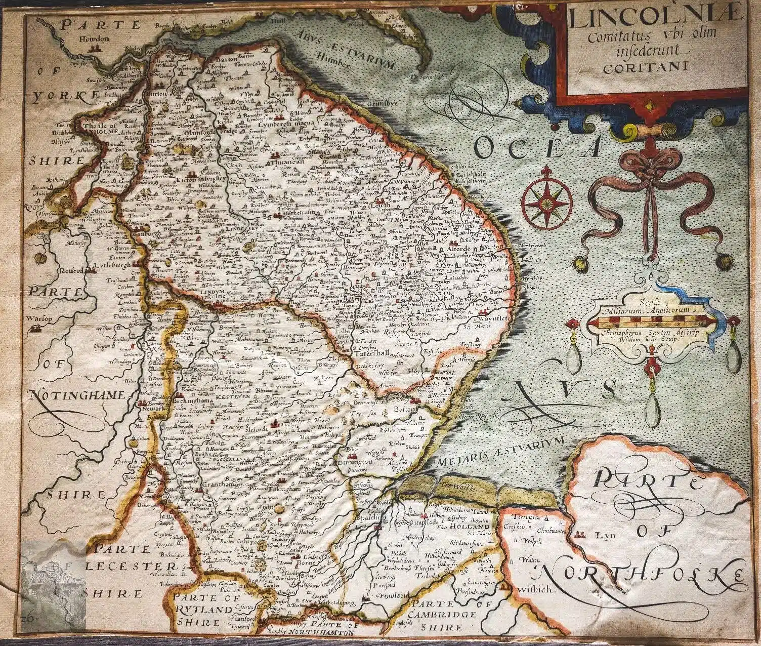
Christopher Saxtons 1576 ish map of Linc’s, one of 34 some showing more than a single county, I think a 35th might have shown all. He started in 74 finished in 78 and published in 79. Only Her Majesties most trusted military minds were privy to those map versions showing roads because they wrongly thought Spain was planning a war. Saxton was under the level of pressure from Lord Burghley and the First Elizabeth that only David Bowie and Freddie Mercury came close to implying. When these went to print the treasury was broke, the national debt prevented further borrowing from the Dutch and malnutrition/starvation widespread. 1580 saw a nation in dire straits but then, a ship thought lost in the Straits of Magellan returned from the dead!
source Facebook